![]()
Cartographic Images (Maps) Free!
Separate files, GIS projects are offered for non-commercial use.
Over 300 finished images. RGB environment, GIF/SVG/JPG/PDF format, files from 1,5 MB, size < 1920 pix, resolution 72-300 dpi.
Mountain regions / Name and version (TXT-file) |
MXD (Gb) |
Preview |
PDF (Мb) |
Size (сm) |
|||||
| Archives materials | |||||||||
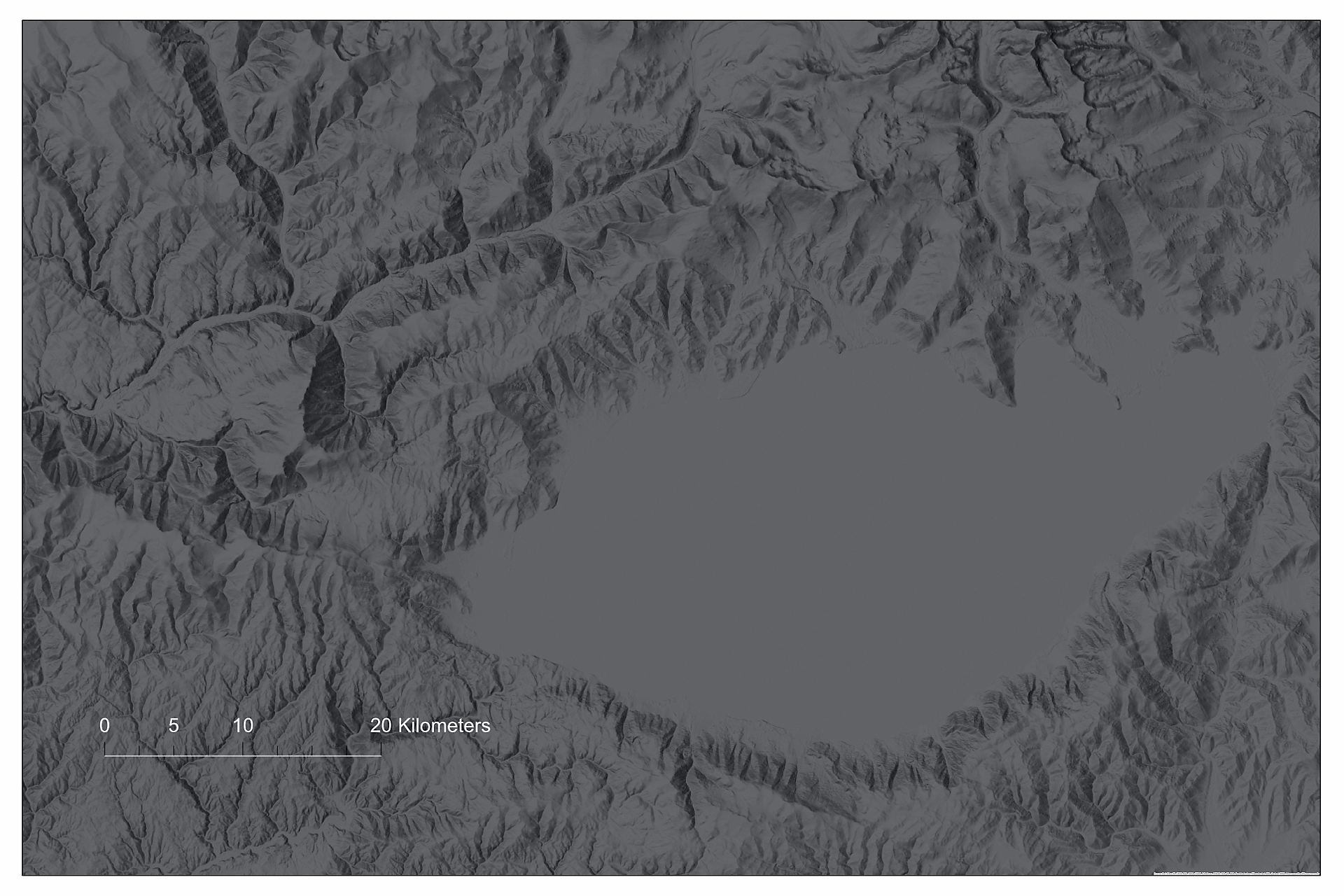
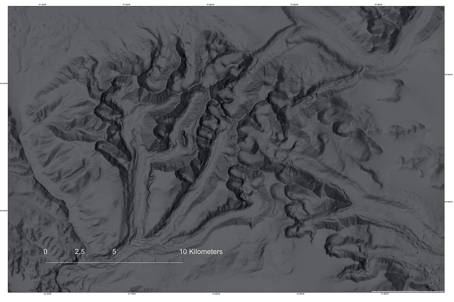
| Land relief maps / Terrain maps (Shaded Relief Archive) | |||||||||
| Series of hand-drawn maps, PDF, 3842x2600p, HQ Special | – |
– |
35,00< |
<180x120 | |||||
Base geographic map design options |
|||||||||
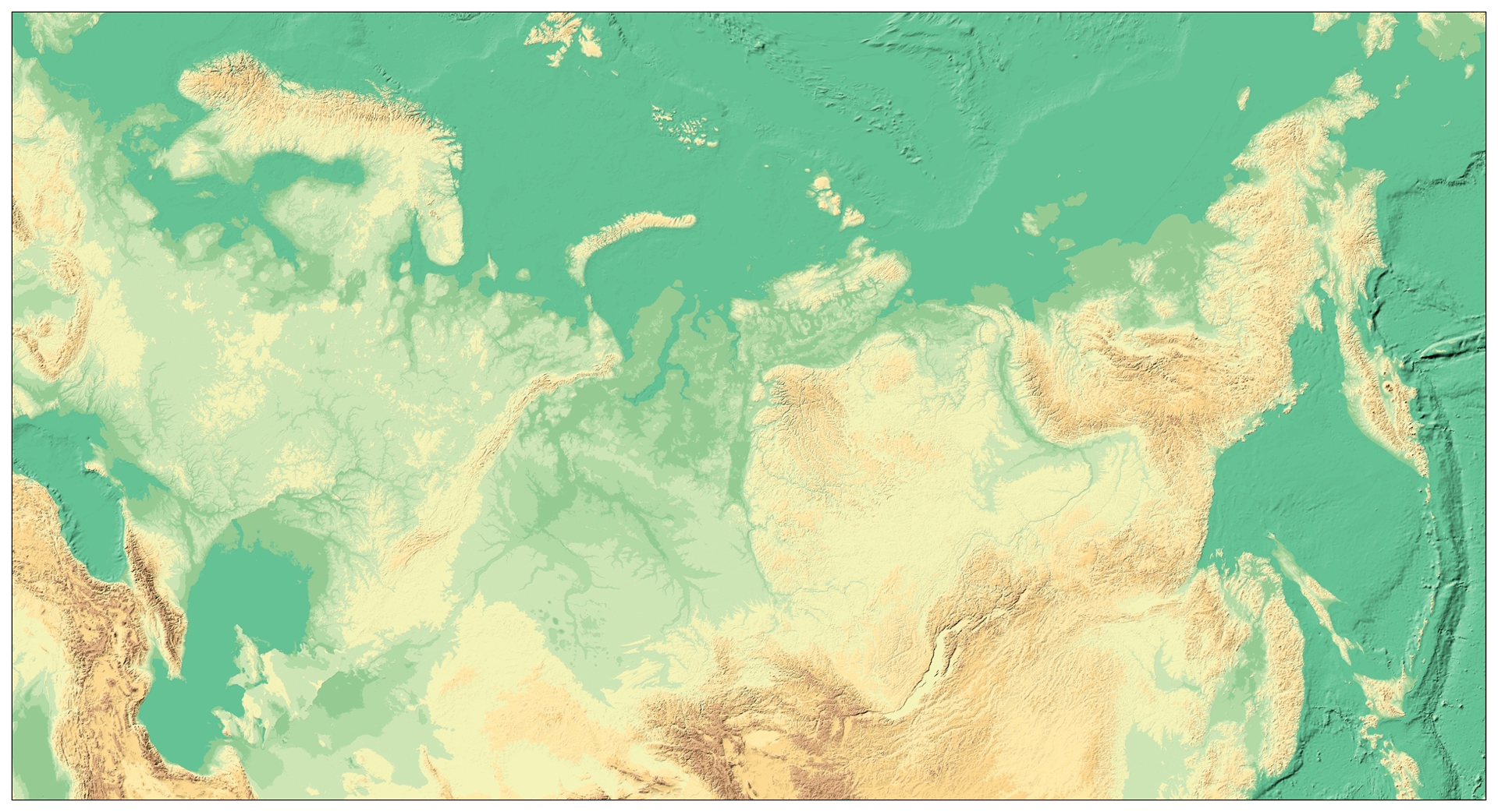
| Physical map of the Russian Federation (no names, 2008) | – |
75,50 |
<300x160 |
||||||
Visualization of a Digital Elevation Model (DEM), add.. |
|||||||||
| Subject of the Russian Federation, 41: Kamchatka | 5,50 |
70,50< |
<125х180 | ||||||
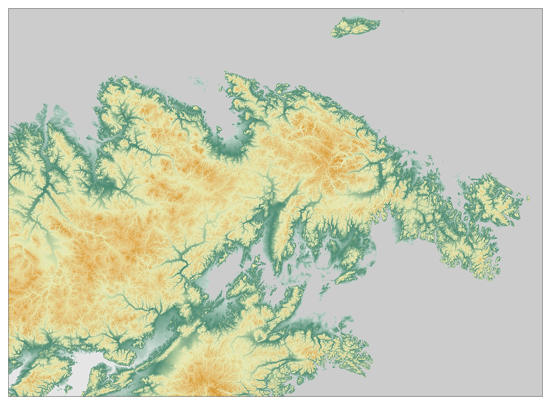
| Subject RF, 87: Chukotka | 6,50 |
95,50< |
<180х135 | ||||||
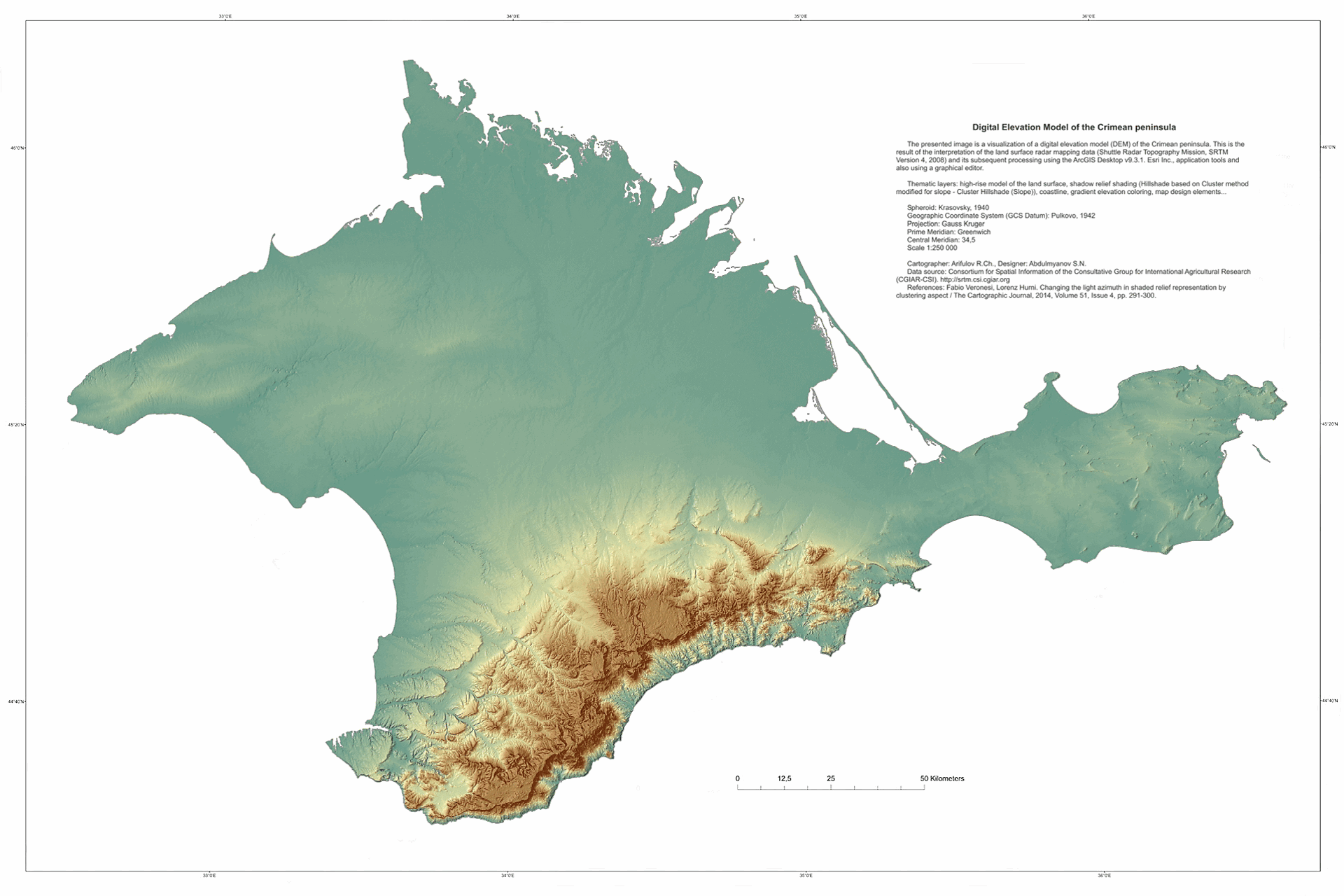
| Subject RF, 91: Crimean peninsula | 3,70 |
65,20< |
<180х120 |
||||||
| Silumin / RIRM / Color Classified | – |
– |
– |
||||||
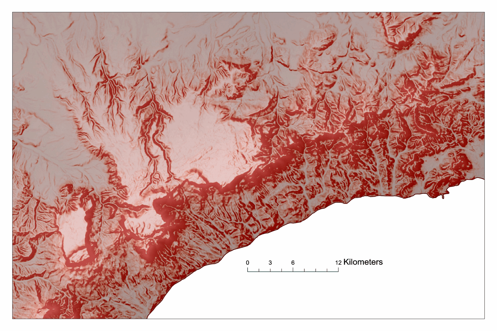
| Southern coast of Crimea (fragment) | – |
45,20< |
<180х120 | ||||||
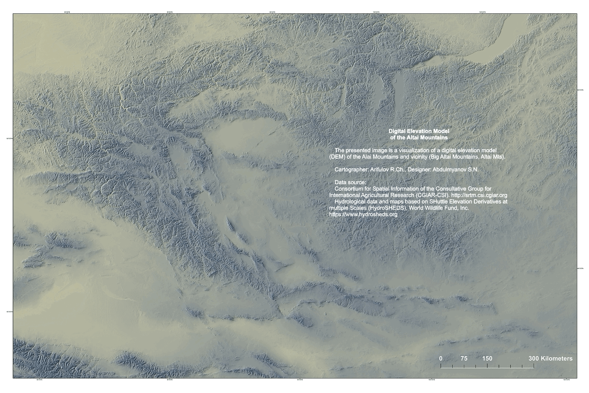
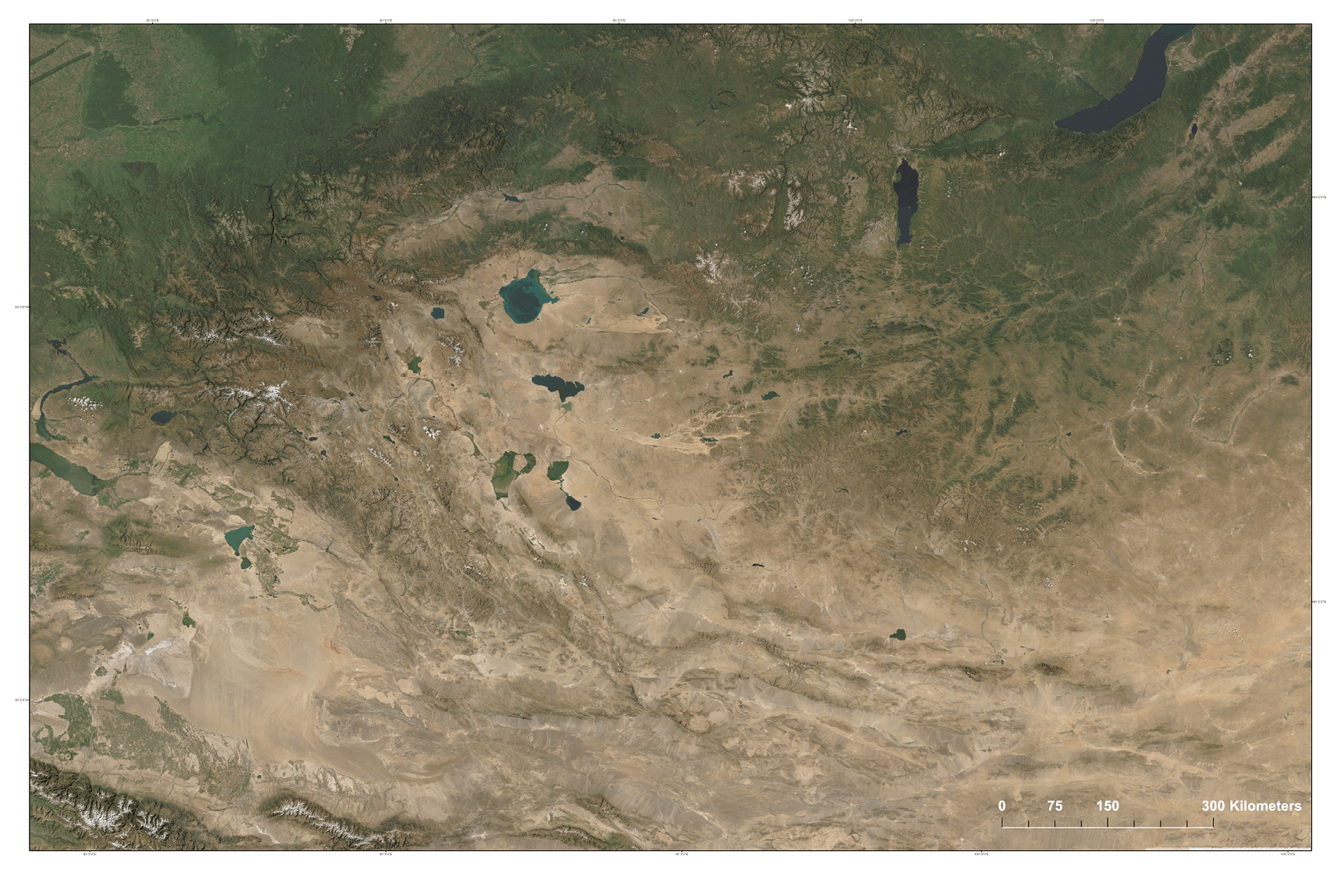
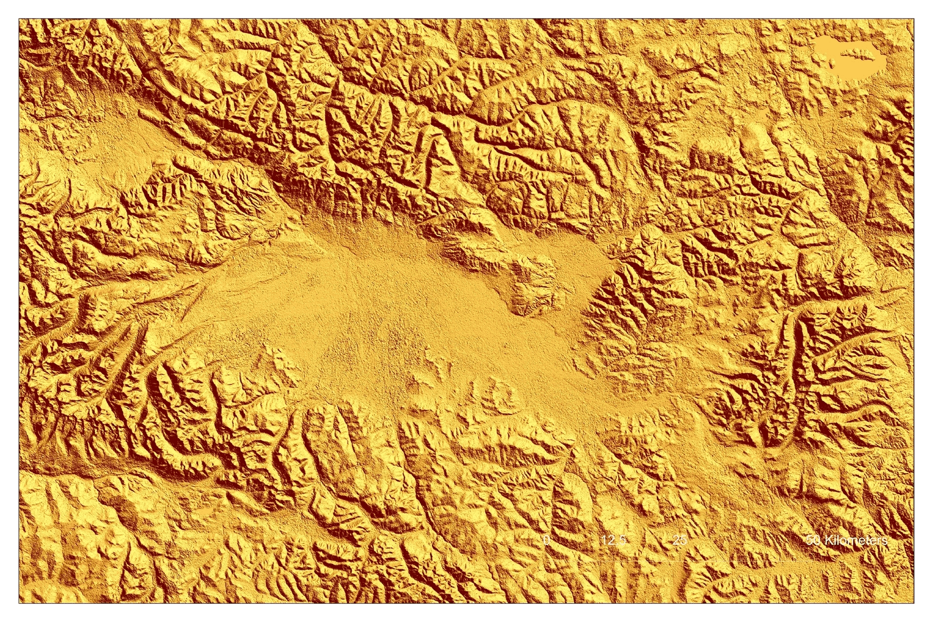
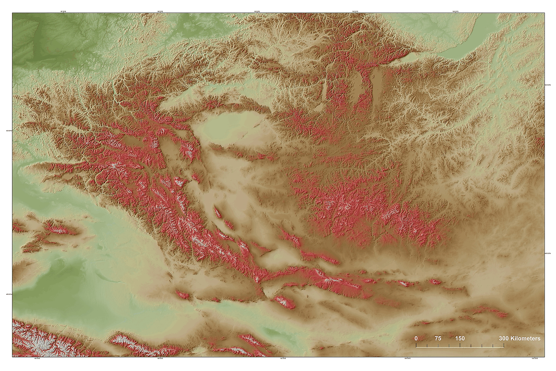
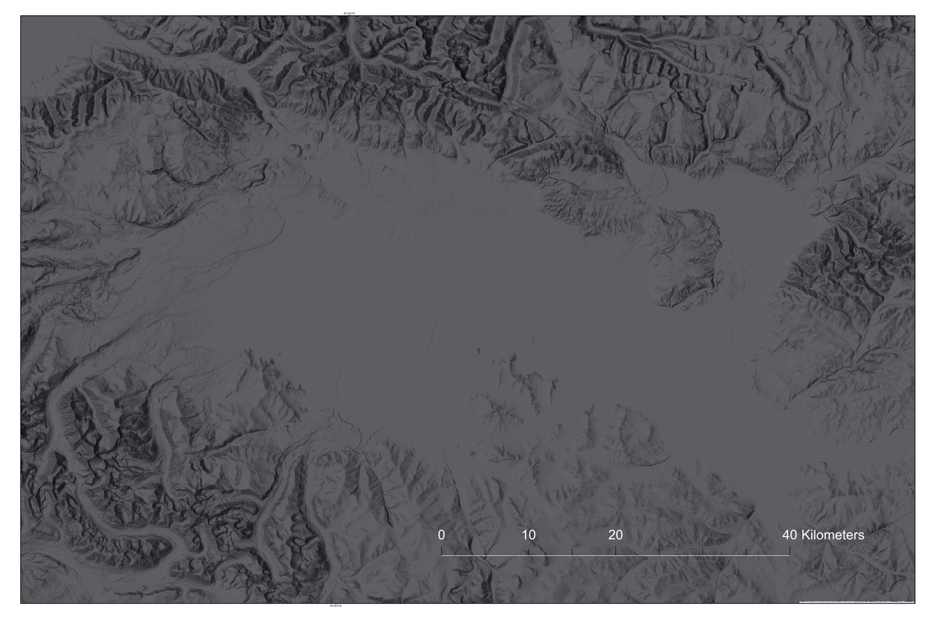
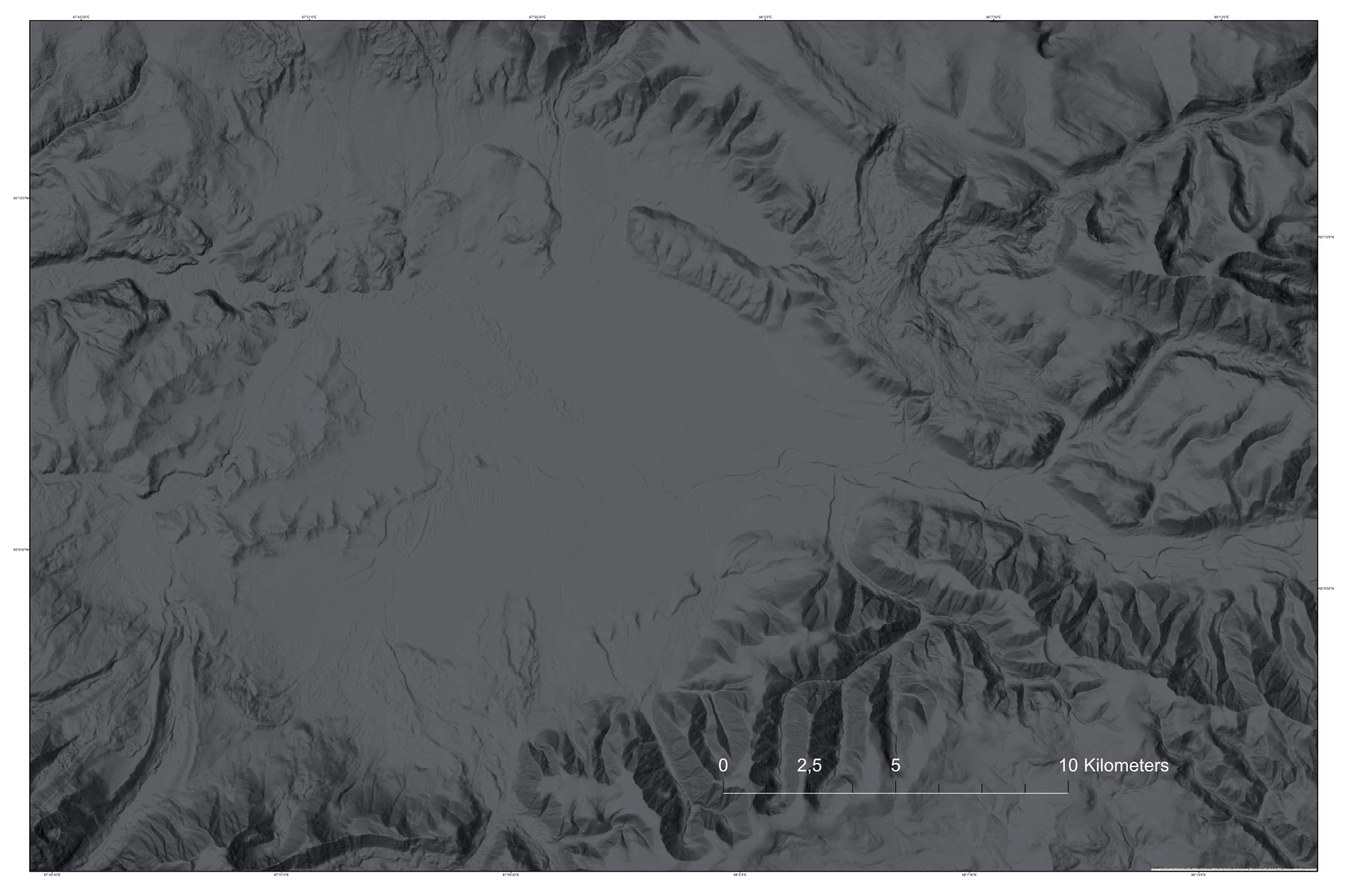
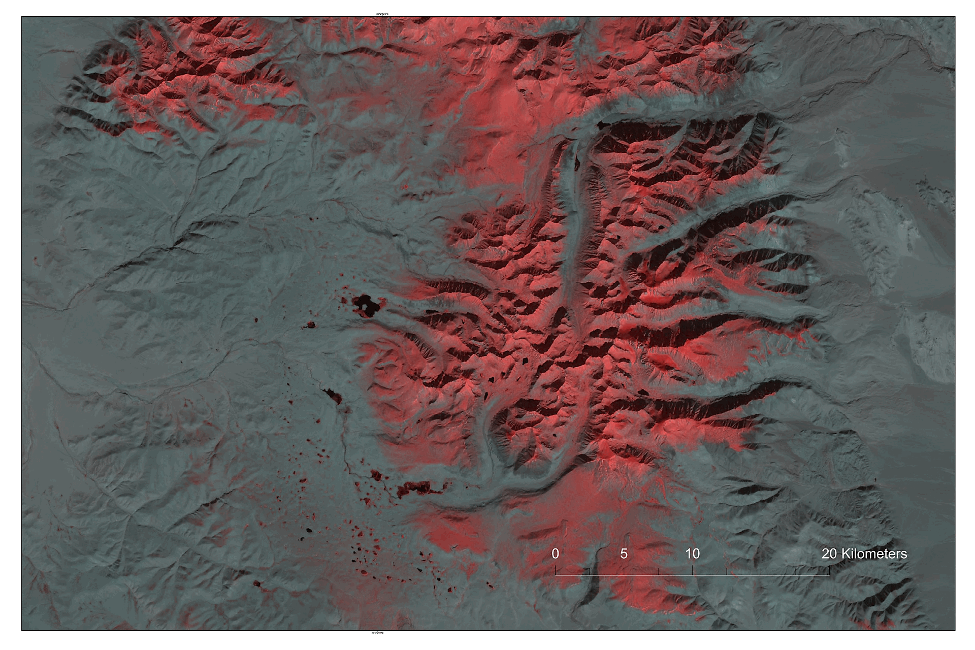
| Altai Mountains and vicinity (Big Altai Mts) | 6,12 |
90,50 |
<225х150 |
||||||
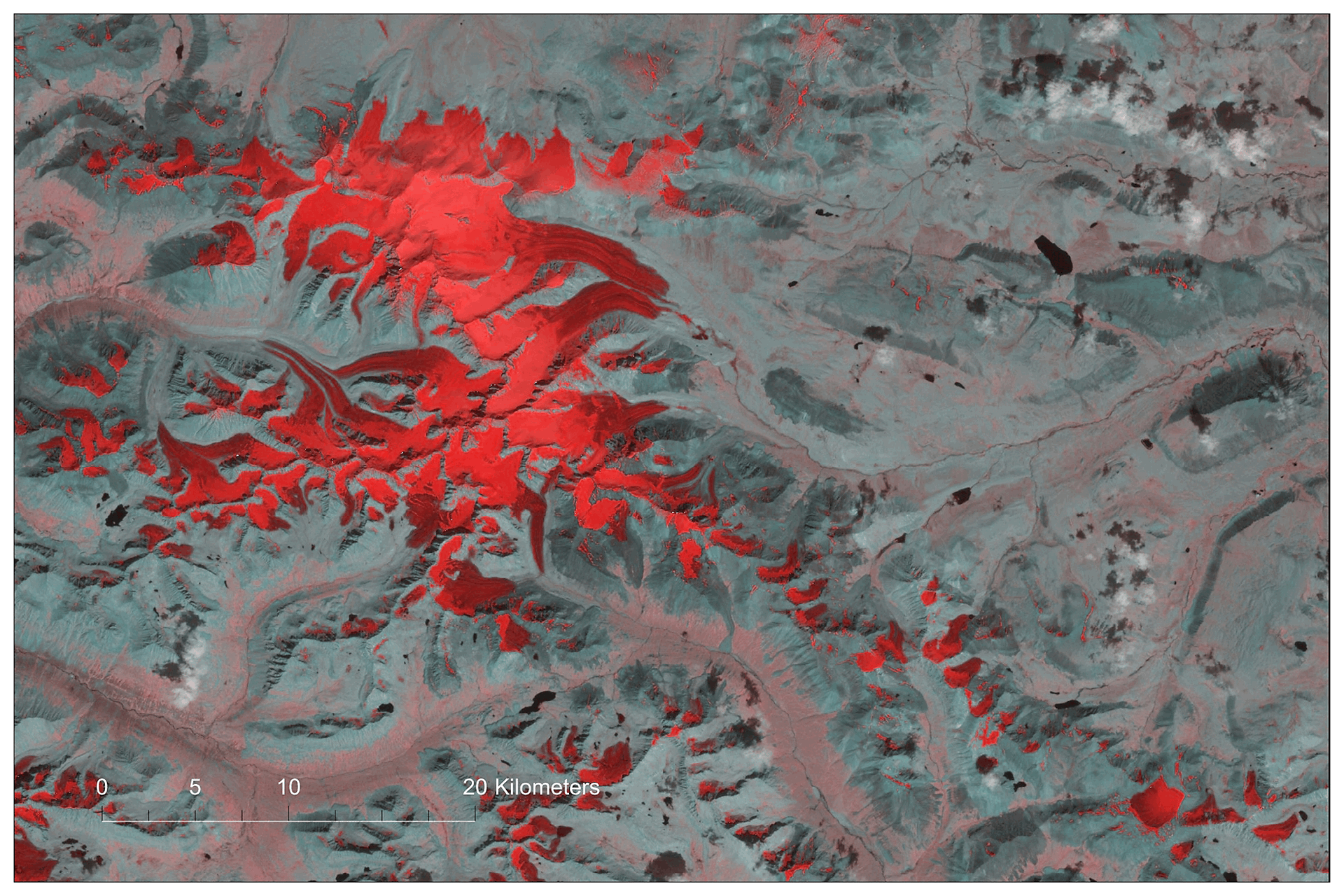
| Optimus / Power Red / Hard Color / Color Classified / SAT | |||||||||
| Big Altai Mts, v2018, PDF, 4750x3150p, HQ Special | – |
– |
11,70 |
<90x60 |
|||||
| Big Altai Mts (SAT/WSH) New | – |
90,50 |
<225х150 | ||||||
| Altai - "golden mountains" (accent) |
– |
70,50< |
<225х150 | ||||||
| Altai - "golden mountains", v2021, PDF, 4750x3150p, MQ Special |
– |
– |
18,50 |
75х50 |
|||||
| Atlas of simple landforms of Mongolia Special | |||||||||
| Russian Altai, Chuy Intermountain Basin (accent) | – |
50,50< |
<225x150 |
||||||
| Chuy Basin (fragment) | – |
40,50< |
<180х120 | ||||||
| Kurai Intermountain Basin (fragment) | – |
35,50< |
<180х120 | ||||||
| Mongun-Taiga (accent) | – |
45,50< |
<180х120 | ||||||
| Mongun-Taiga, 3976 m (fragment), SATs | 7,10 |
55,50< |
<180х120 | ||||||
| Mongun-Taiga, PDF, 4750x3150p, MQ Special | – |
– |
02,48 |
<75x50 |
|||||
| Mongun-Taiga (Santinel MS), PDF, 4750x3150p, MQ Special | – |
– |
06,56 |
<75x50 |
|||||
| Kazakhstan (Southern) Altai, Markakol depression (accent) | – |
30,50< |
<180х120 | ||||||
| Markakol depression (fragment) | 5,10 |
30,50< |
<180х120 | ||||||
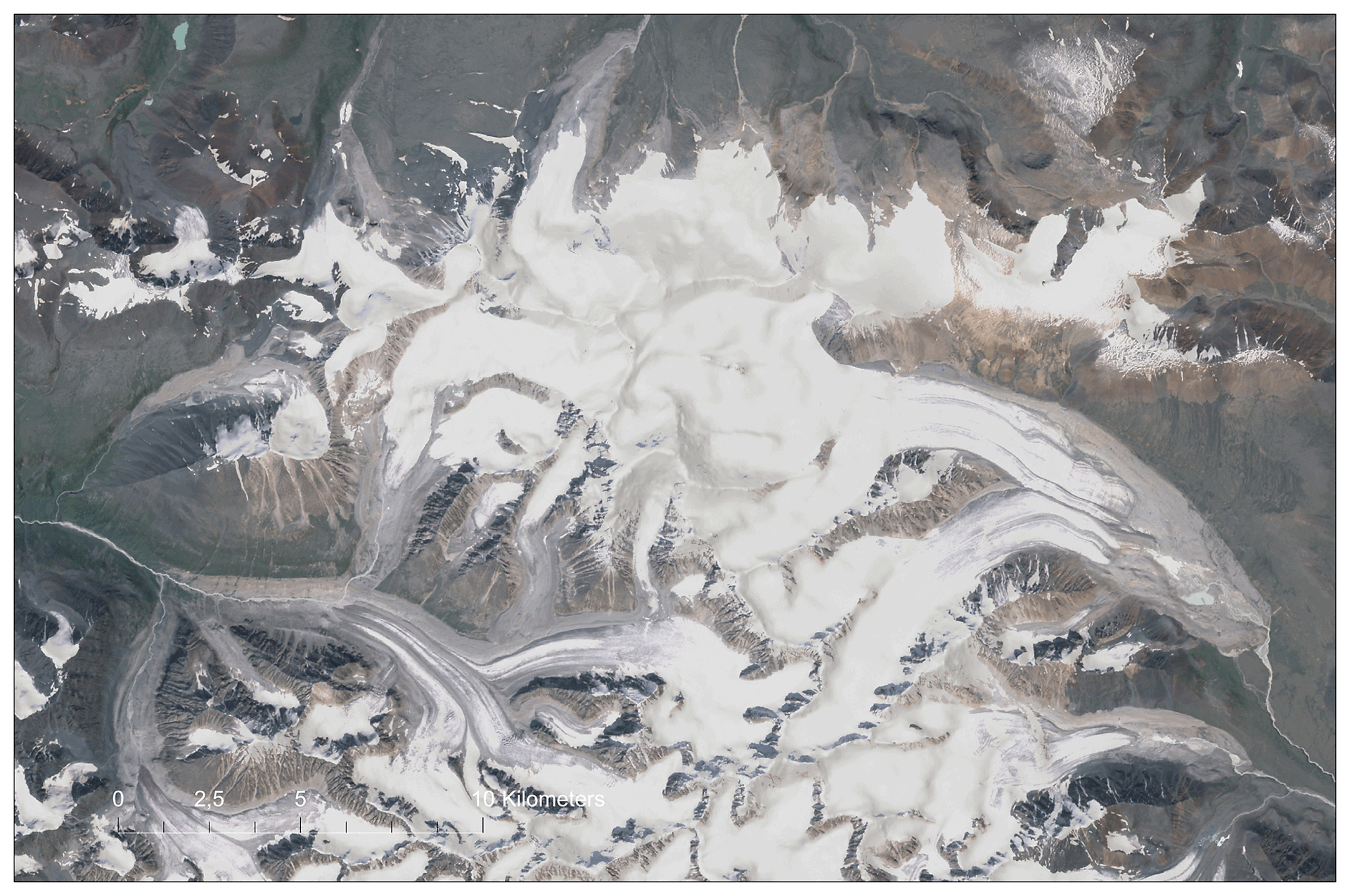
| Mongolian Altai | |||||||||
| Tavun Bogdo Uul / Altai Tavun Bogd (accent) | – |
45,50< |
<180x120 | ||||||
| Altai Tavun Bogd, 4374 m (fragment) SAT/WSH New | 7,50 |
45,50< |
<180x120 | ||||||
| Altai Tavun Bogd, PDF, 4750x3150p, MQ Special | – |
– |
01,90 |
<75x50 |
|||||
| Altai Tavun Bogd (Santinel MS), PDF, 4750x3150p, MQ Special | – |
– |
03,90 |
<75x50 |
|||||
| Under Khairchan, 3912 м / Altai Tavun Bogd (accent) | 3,50 |
45,50< |
<180x120 | ||||||
| Under Khairchan (SAT/SL/RRIM), GOLD | 45,50< |
<180x120 | |||||||
| Under Khairchan (SAT/SL/RRIM), PDF, 4750x3150p, MQ Special | – |
– |
05,90 |
<75x50 |
|||||
| Sutai Khairchan, 4220 m (fragment) | 6,50 |
– |
45,50< |
<180x120 |
|||||
| Sutai Khairchan, PDF, 4750x3150p, MQ Special | – |
– |
01,50 |
<75x50 |
|||||
| Tsast, 4208 m, Tsambagarav (fragment) | 6,50 |
– |
45,50< |
<180х120 | |||||
| Tsast, PDF, 4750x3150p, MQ Special | – |
– |
01,60 |
<75x50 |
|||||
| Tsambagarav (Landsat MS), PDF, 4750x3150p, MQ Special | – |
– |
01,70 |
<75x50 |
|||||
| Kharkhiraa (accent) | – |
45,50< |
<180х120 | ||||||
| Kharkhiraa, 4036 m (fragment) | 7,30 |
60,50< |
<180х120 | ||||||
| Kharkhiraa, PDF, 4750x3150p, MQ Special | – |
– |
08,05 |
<75x50 |
|||||
| Kharkhiraa (Landsat MS), PDF, 4750x3150p, MQ Special | – |
– |
03,42 |
<75x50 |
|||||
| Tugren (accent) | – |
35,50< |
<180х120 | ||||||
| Tugren, 4029 m, Chikchaheva / Saylyugem ridge (fragment) | 5,60 |
40,50< |
<180х120 | ||||||
| Tugren, PDF, 4750x3150p, MQ Special | – |
– |
02,66 |
<75x50 |
|||||
| Tugren (Landsat MS), PDF, 4750x3150p, MQ Special | – |
– |
03,93 |
<75x50 |
|||||
| Gobi Altai | |||||||||
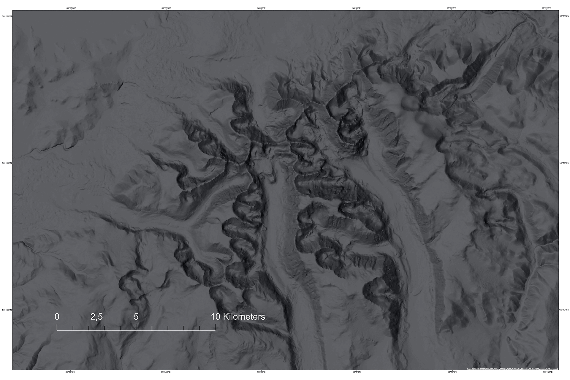
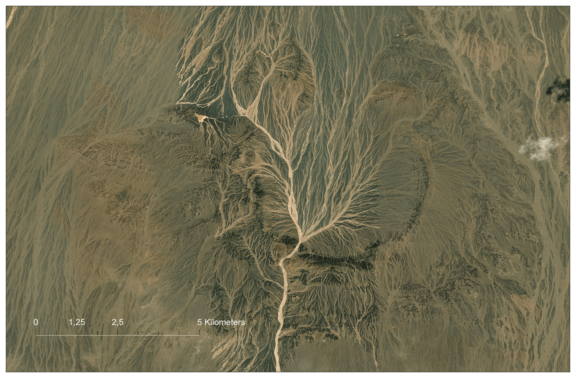
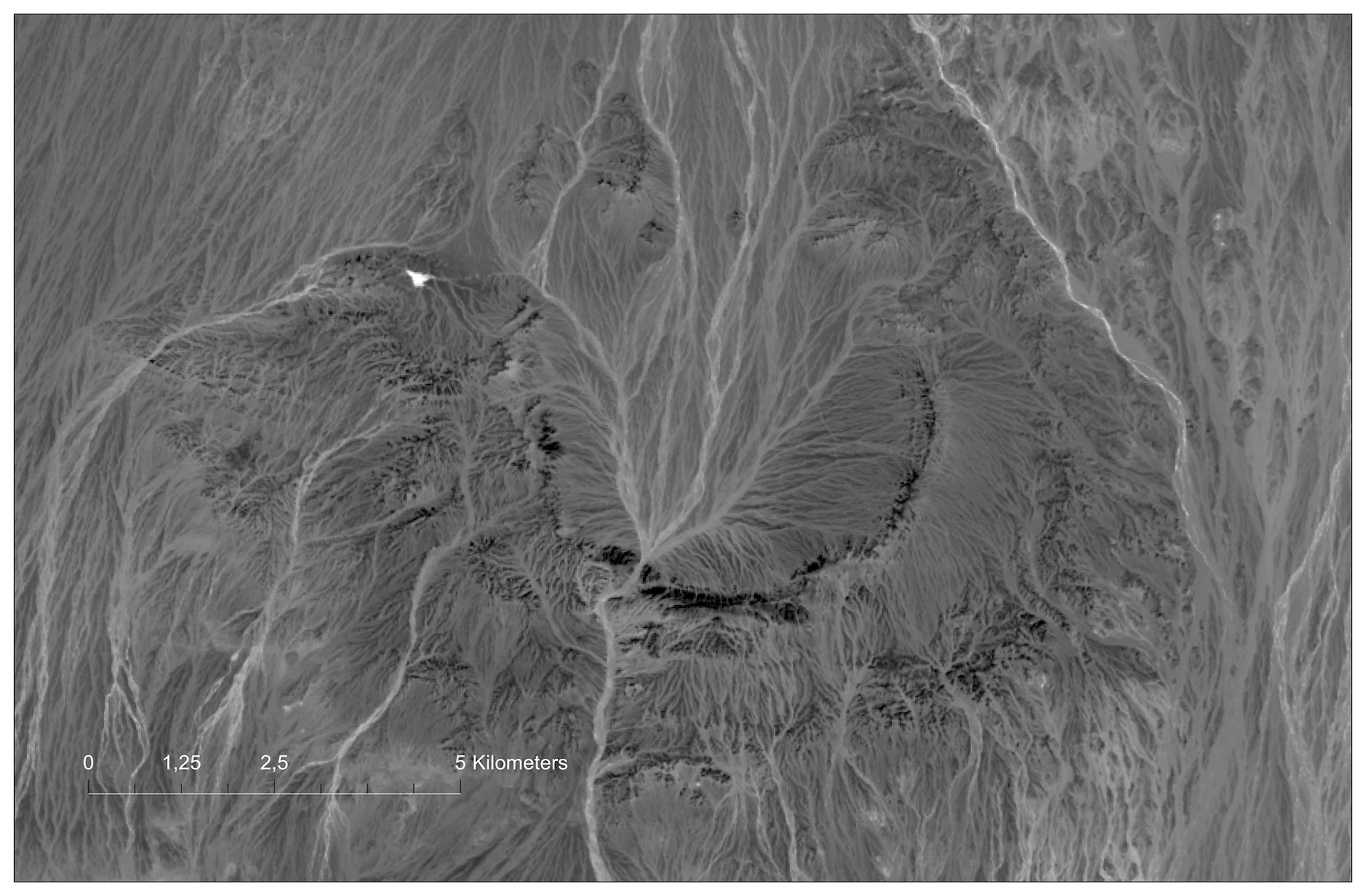
| Nemegt Basin / Nemegt hotgor (fragment) | – |
81,80 |
<225x150 |
||||||
| Nemegt, v2018 (accent) | – |
||||||||
| Nemegt, v2019, west (accent) | 9,10 |
85,50< |
<225х150 |
||||||
| Nemegt, v2018, PDF, 4000x2675p, HQ Special | – |
– |
04,90 |
<75x50 |
|||||
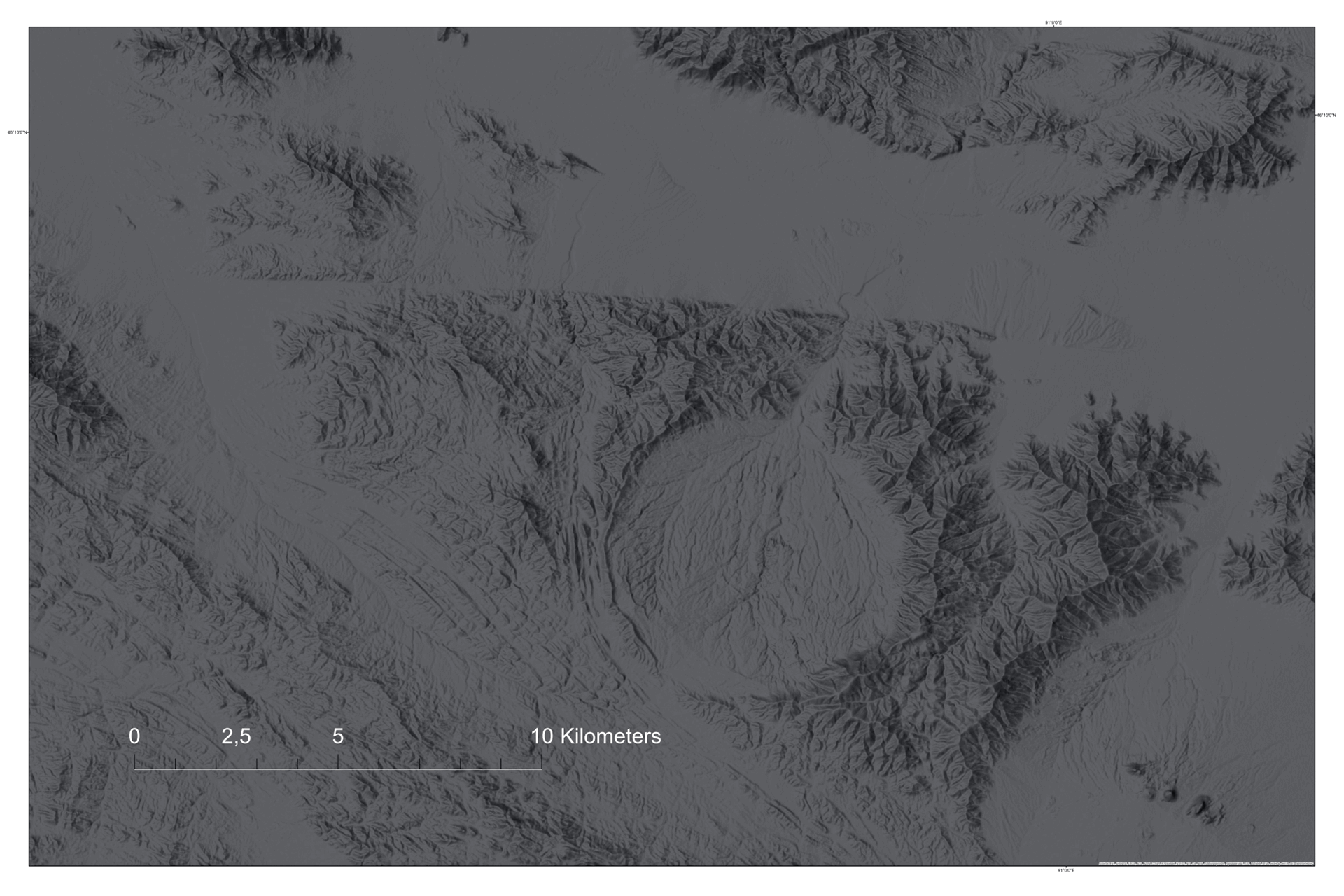
| Volcanoes of the Bogd area (fragment) New | 7,30 |
70,00 |
<180х120 | ||||||
| Volcanoes Bogd (SAT/WSHD), PDF, 4750x3150p, MQ Special | – |
– |
01,00 |
<75x50 |
|||||
| Volcanoes Bogd (Landsat MS), PDF, 4750x3150p, MQ Special | – |
– |
10,00 |
<75x50 |
|||||
| Meteorcrater Tsenkher (fragment) | 3,50 |
50,00 |
<225х150 |
||||||
| Tsenkher (SAT/WSHD), PDF, 4750x3150p, MQ New | – |
– |
07,60 |
<75x50 |
|||||
| Tsenkher, PDF, 4750x3150p, MQ Special | – |
– |
08,16 |
<75x50 |
|||||
| Tsenkher (Landsat MS), seasons | – |
– |
<75x50 |
||||||
| Chinese (Dzungarian) Altai, Bulgan-Gol valley (accent) | 04,50 |
45,00< |
<180х120 | ||||||
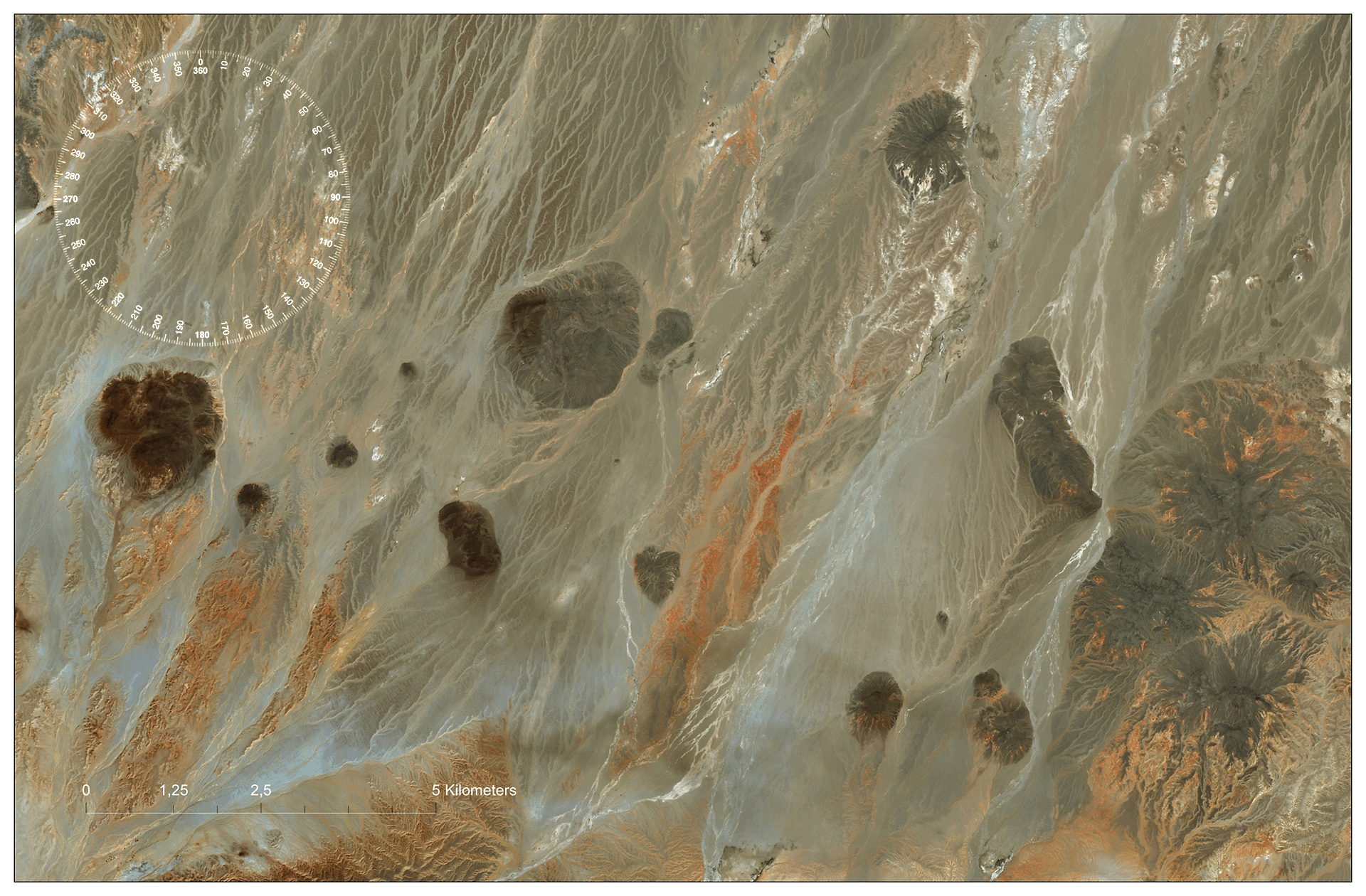
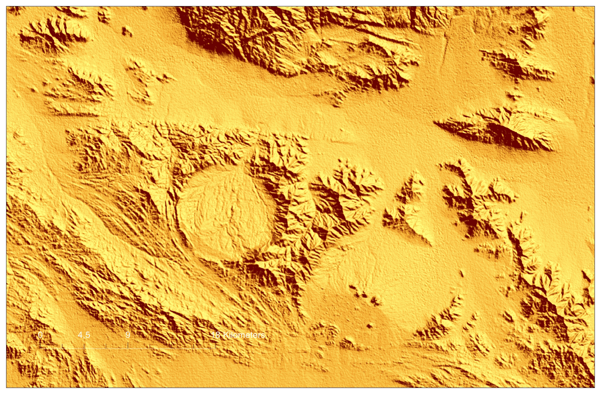
| Ring structure (fragment) | – |
65,00< |
<180х120 | ||||||
| Ring structure (SAT/SL) GOLD | 65,00< |
<180х120 | |||||||
| Ring structure (SAT/WSHD), PDF, 4750x3150p, MQ Special | – |
15,40 |
<75x50 |
||||||
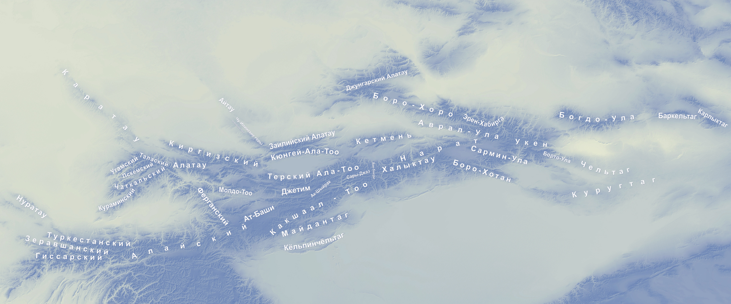
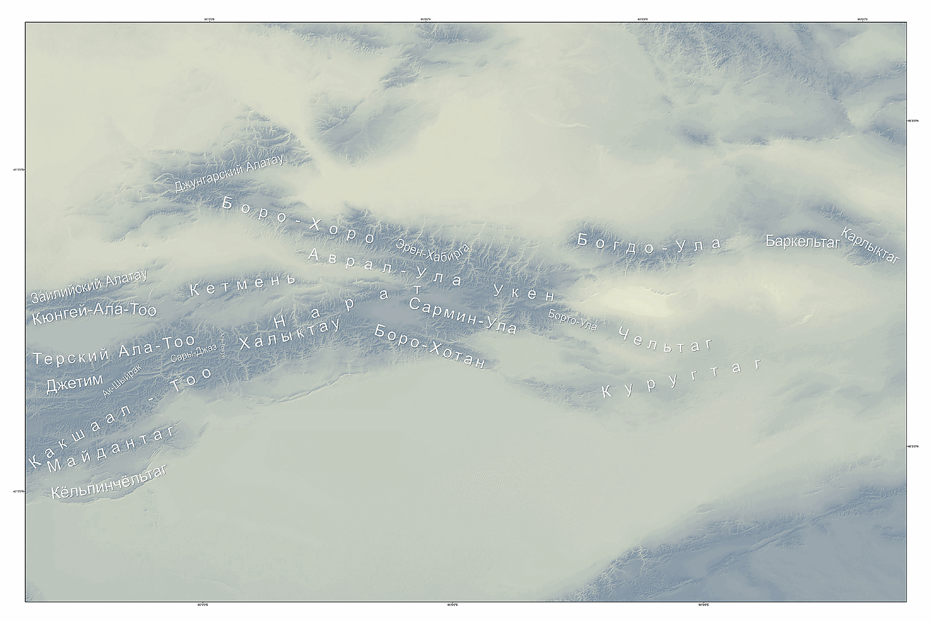
| Tien Shan (Tien Shan Mts) | 8,00 |
– |
– |
||||||
| OPT / SSW / PR / GGl / HRD / Color Classified | |||||||||
| Central and Eastern Tien Shan / Chinese Tien Shan (fragment) | – |
85,50< |
<180x120 |
||||||
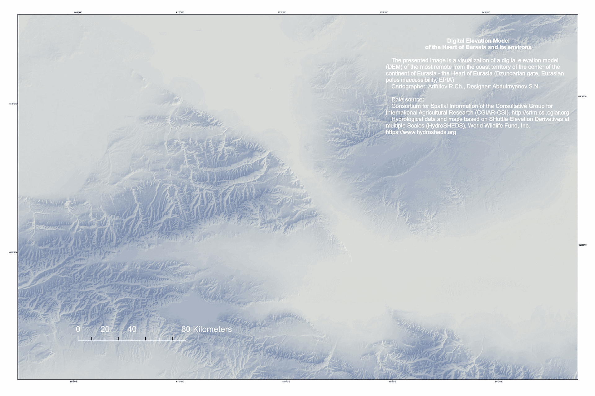
| "Dzungarian Gate", EPIA (fragment) | – |
45,50< |
<180x120 |
||||||
| "Dzungarian Gate", EPIA (SAT/WSH/SL) New | – |
45,50< |
<180x120 | ||||||
| "Dzungarian Gate", EPIA PDF, 4750х3185р, HQ Special | – |
– |
12,6 |
<90x60 |
|||||
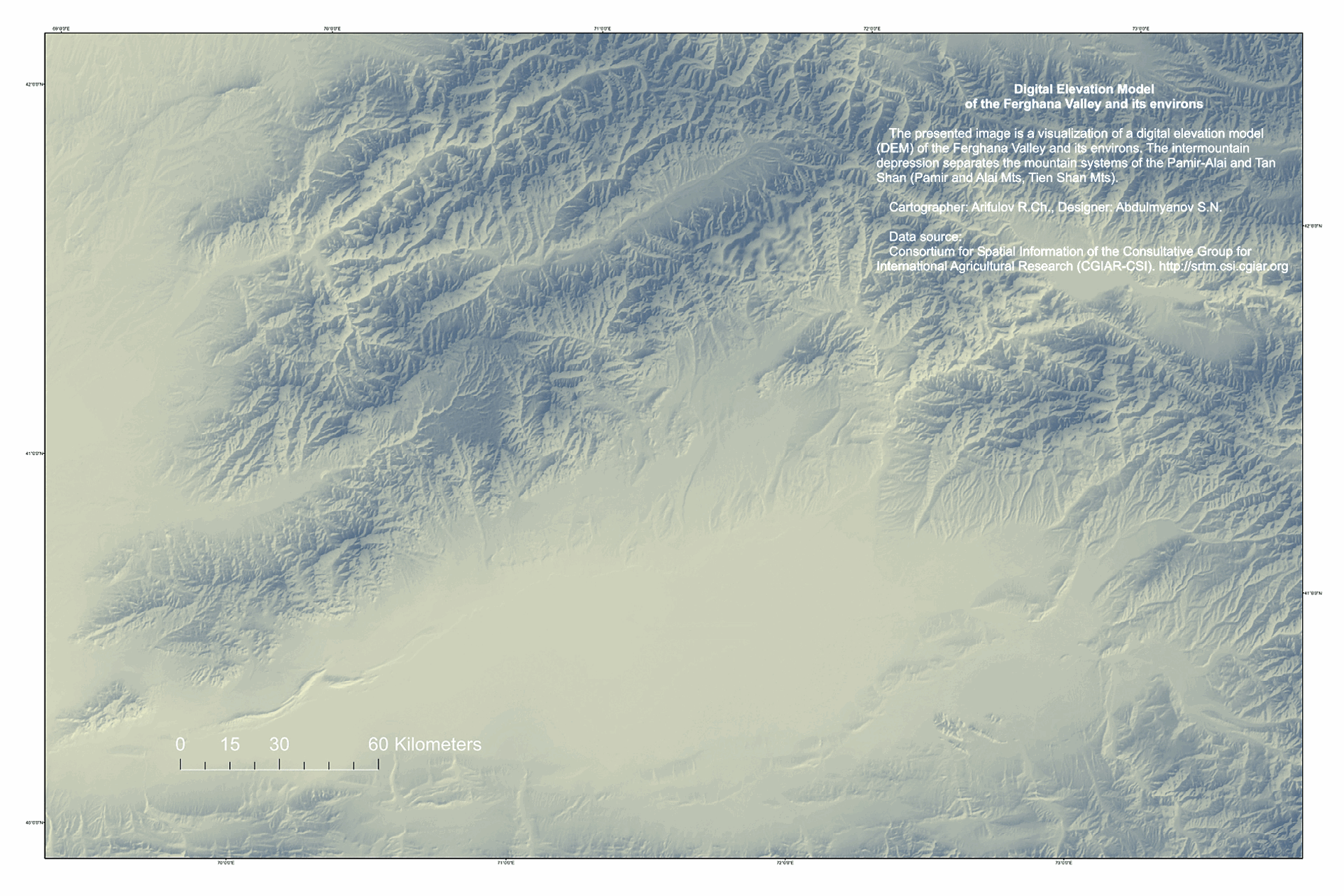
| Ferghana Valley and its environs | 3,50 |
35,50< |
<180x120 | ||||||
| OPT / SSW / PR / GGl / HRD / Color Classified | |||||||||
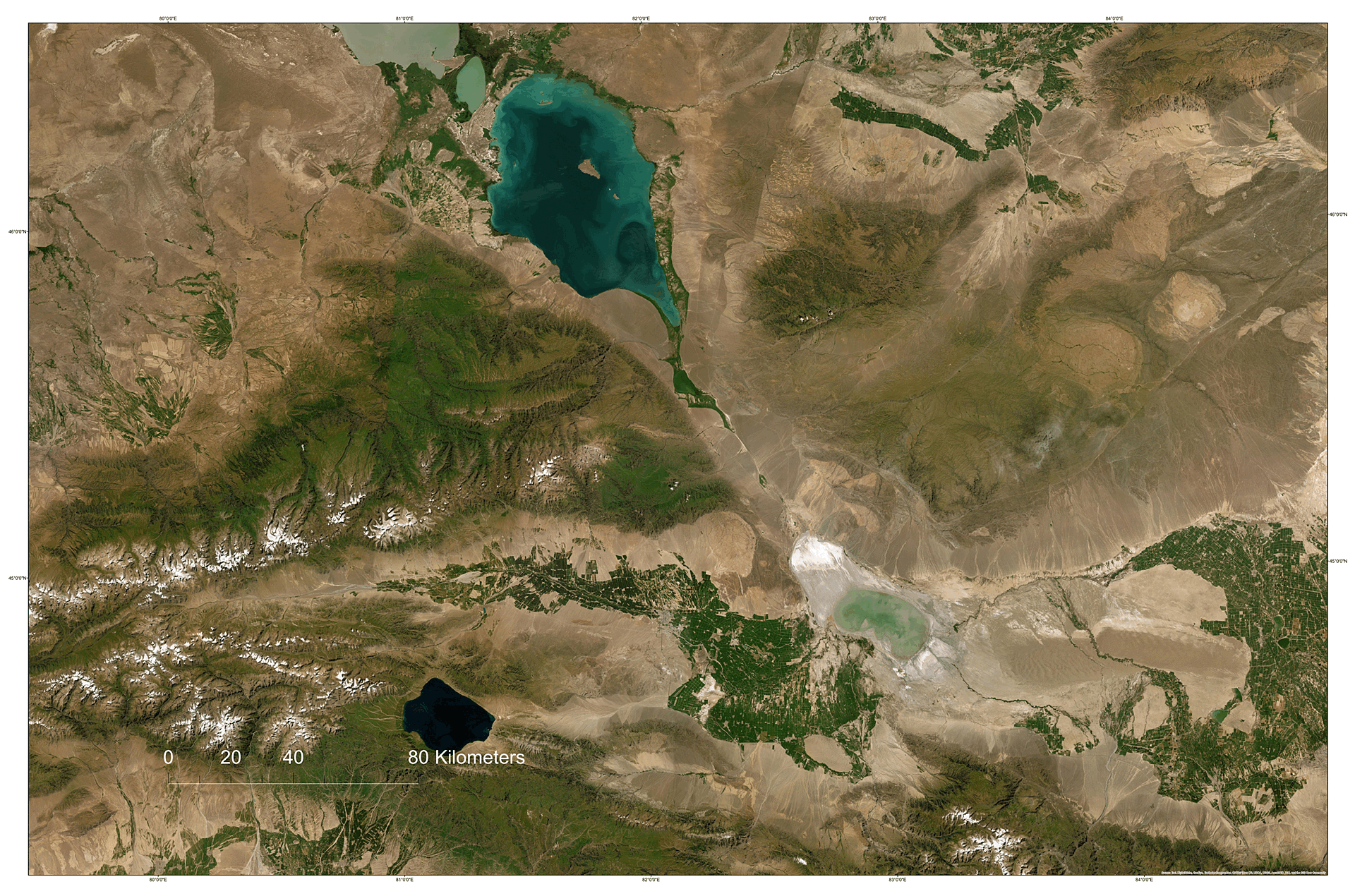
| Fergana Valley (SAT/WSH/SL) New | – |
50,50< |
<180x120 | ||||||
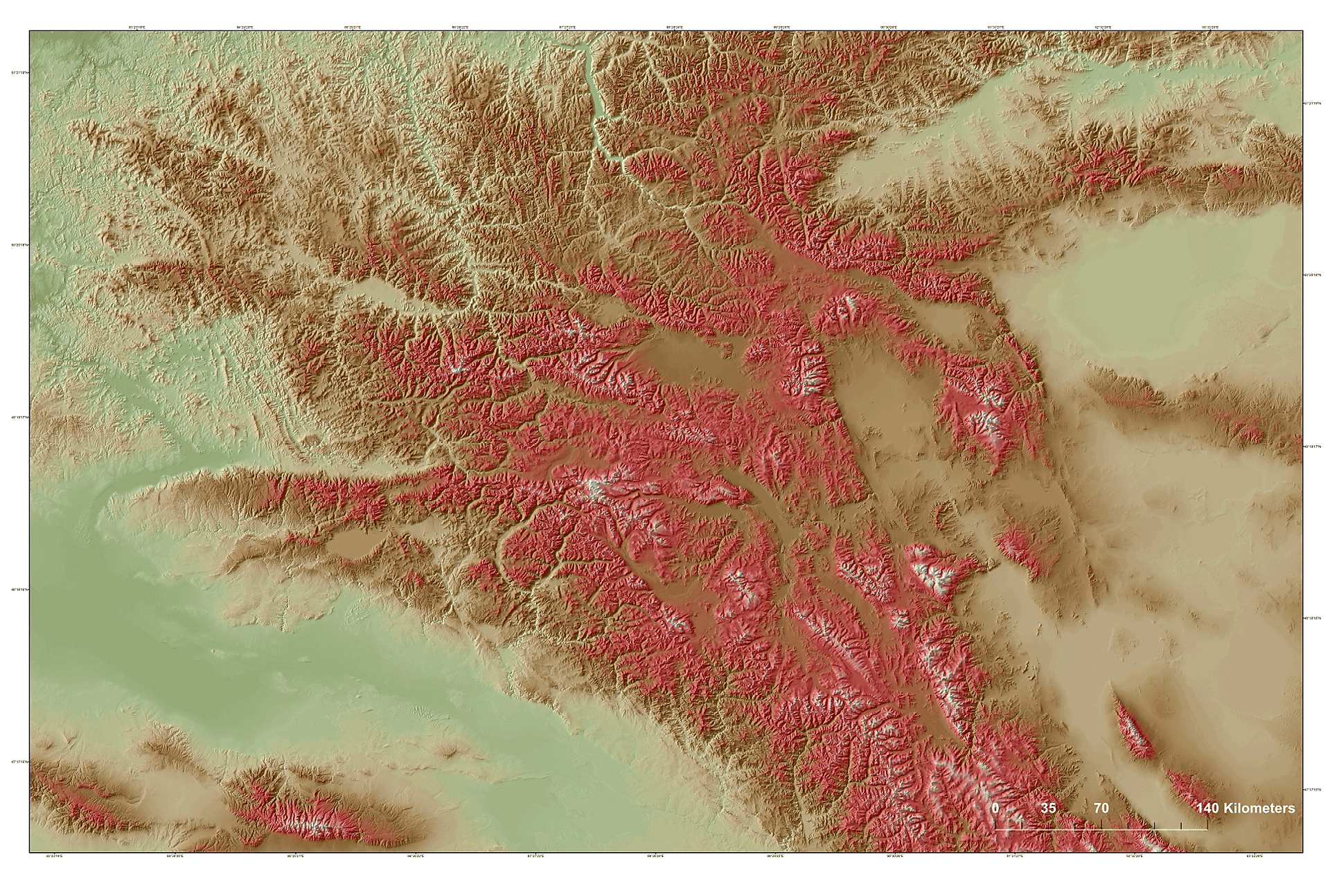
| Pamir and Alai Mountains (Pamir and Alai Mts) | 3,70 |
97,25< |
<225x150 | ||||||
| OPT / SSW / PR / GGl / HRD / Color Classified | |||||||||
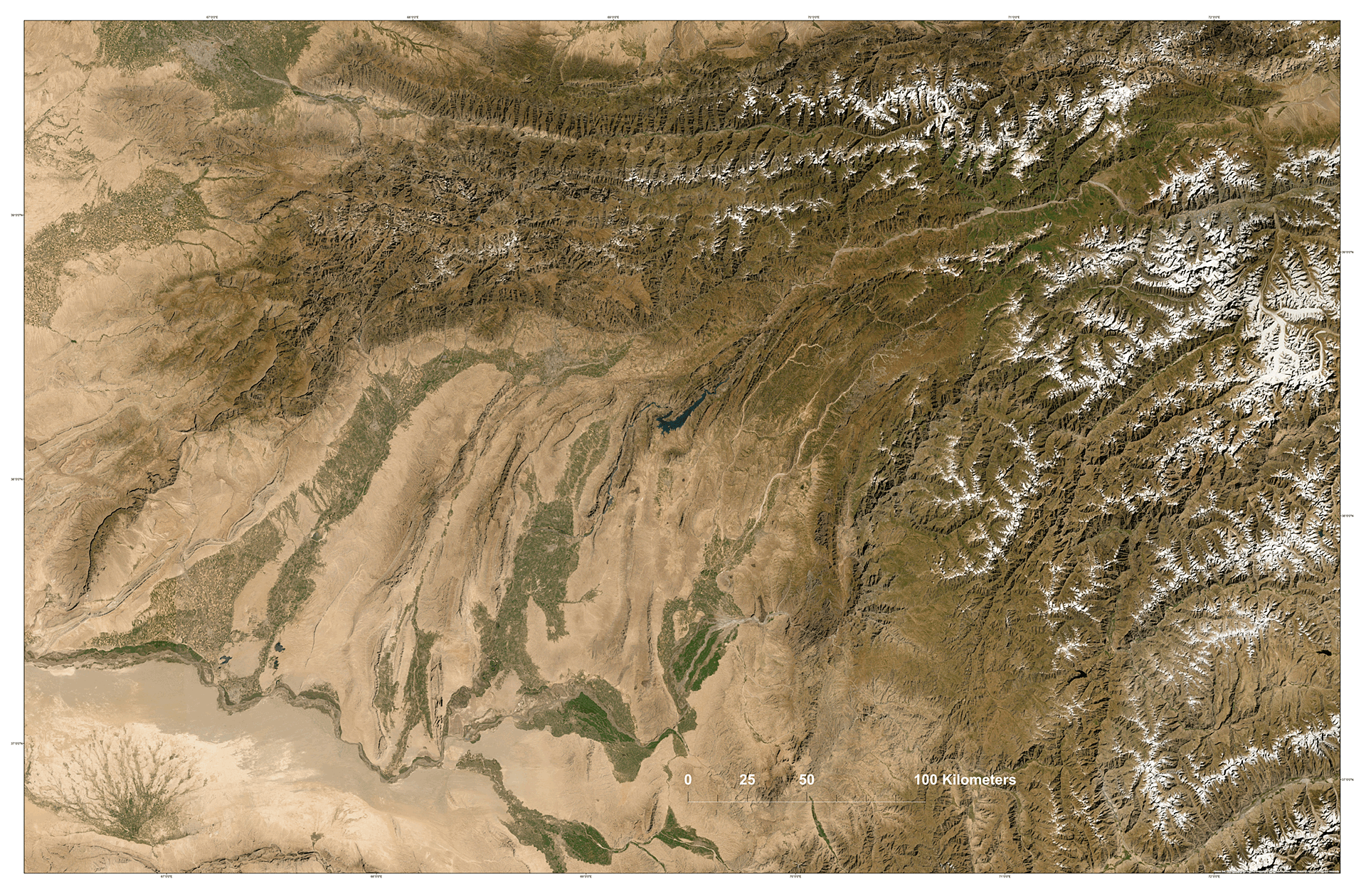
| Gissaro-Alai (SAT/WSH/SL) New | – |
90,50< |
<225x150 | ||||||
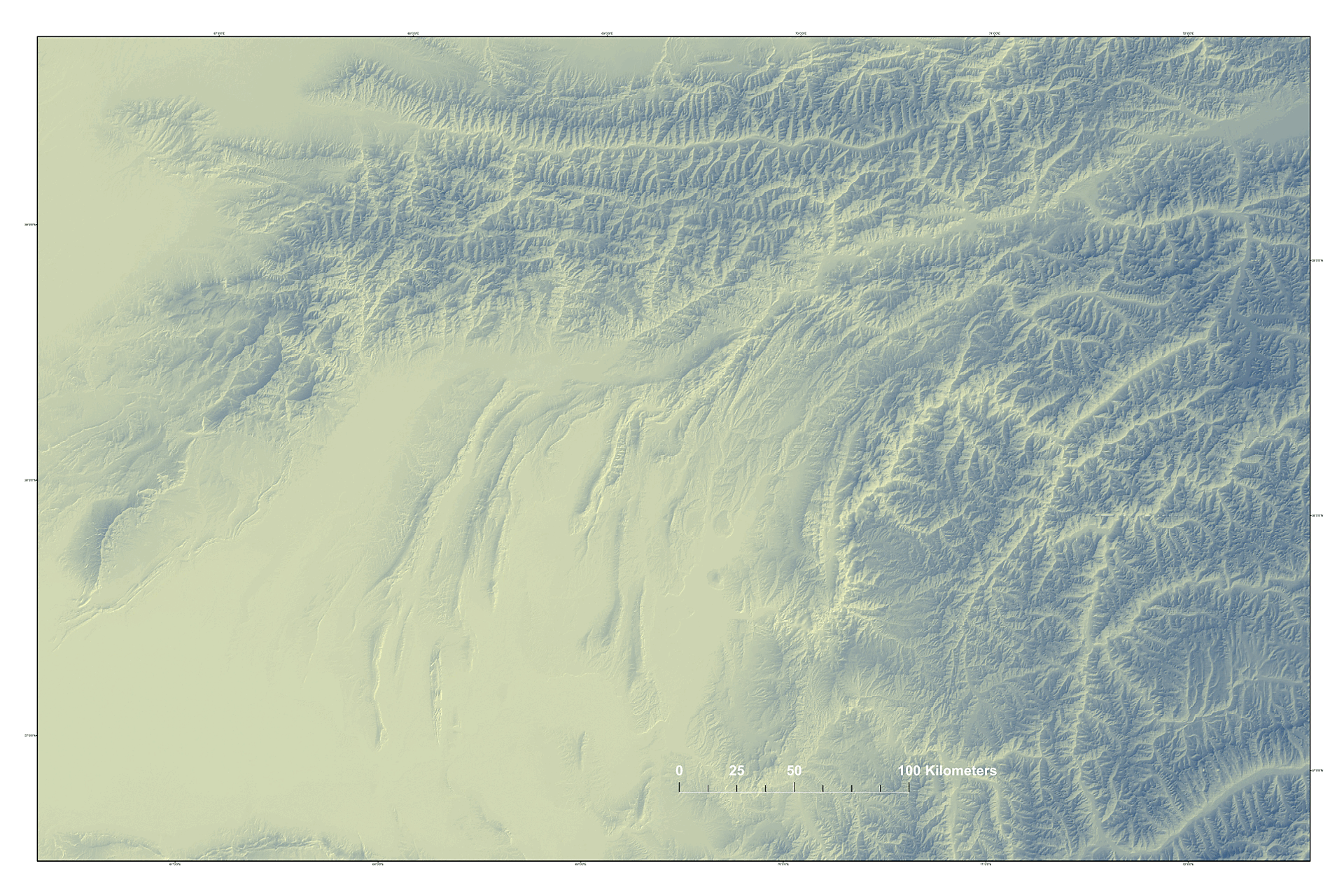
| Gissaro-Alai (fragment) | – |
150,25< |
<225x150 | ||||||
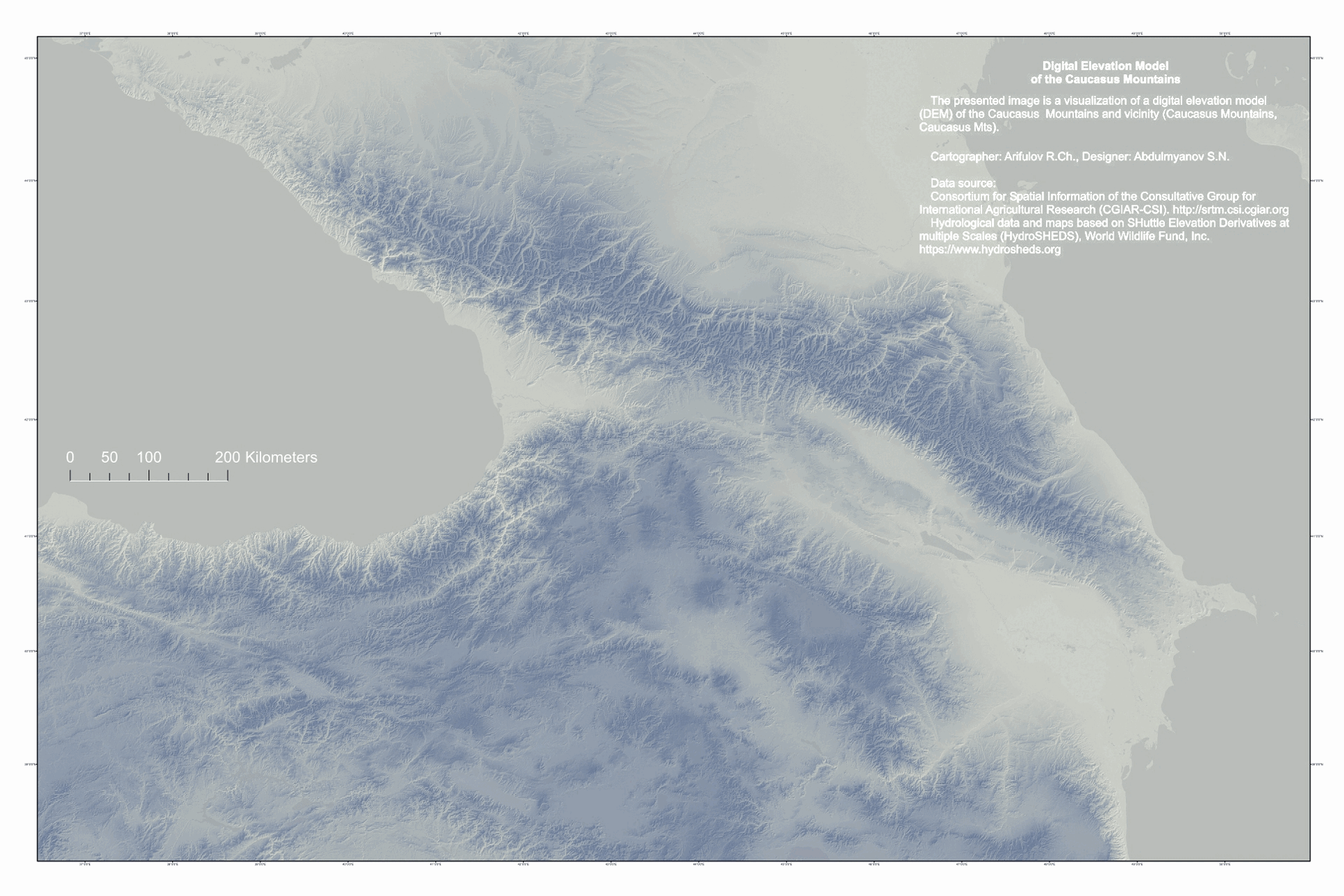
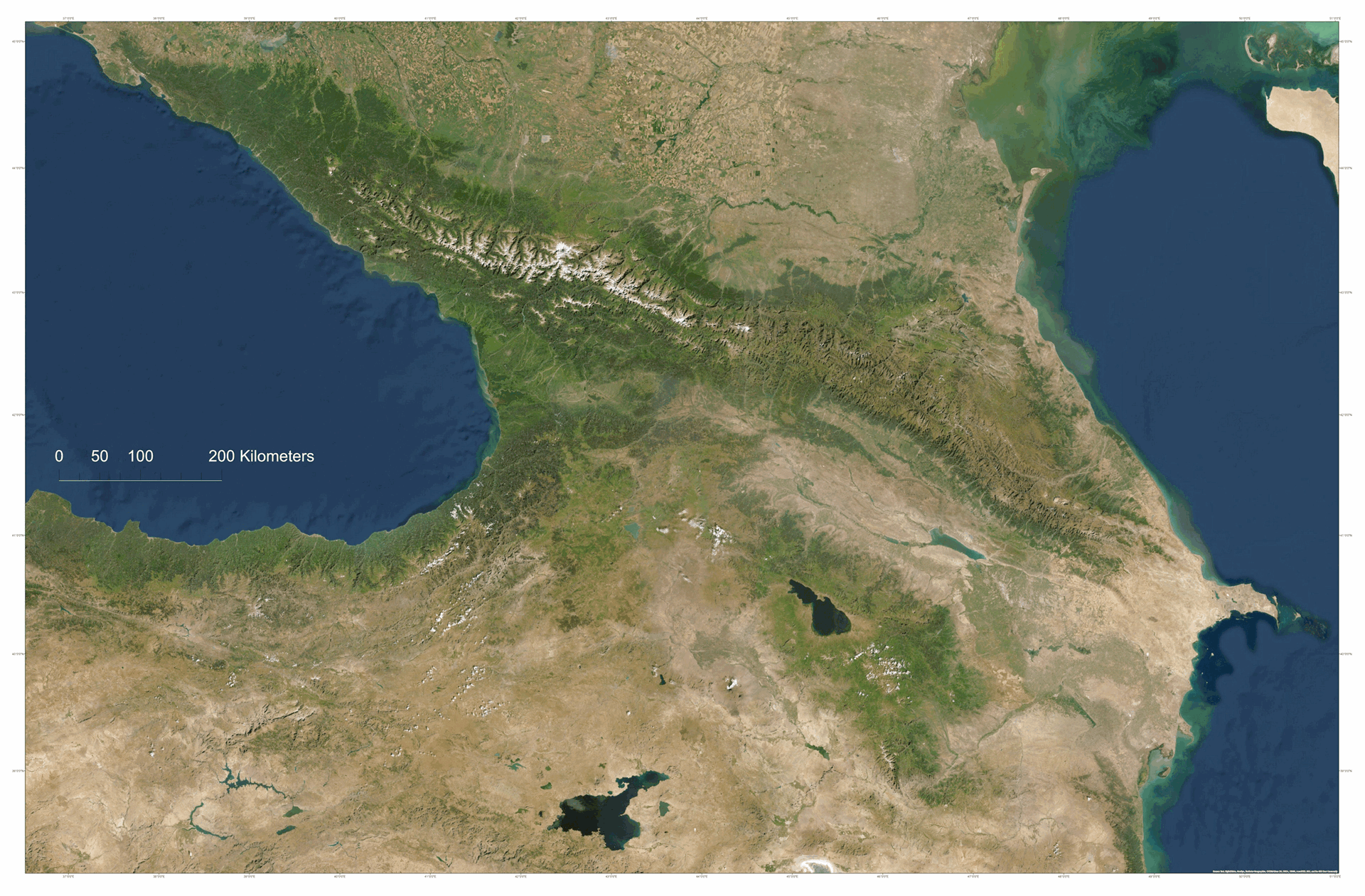
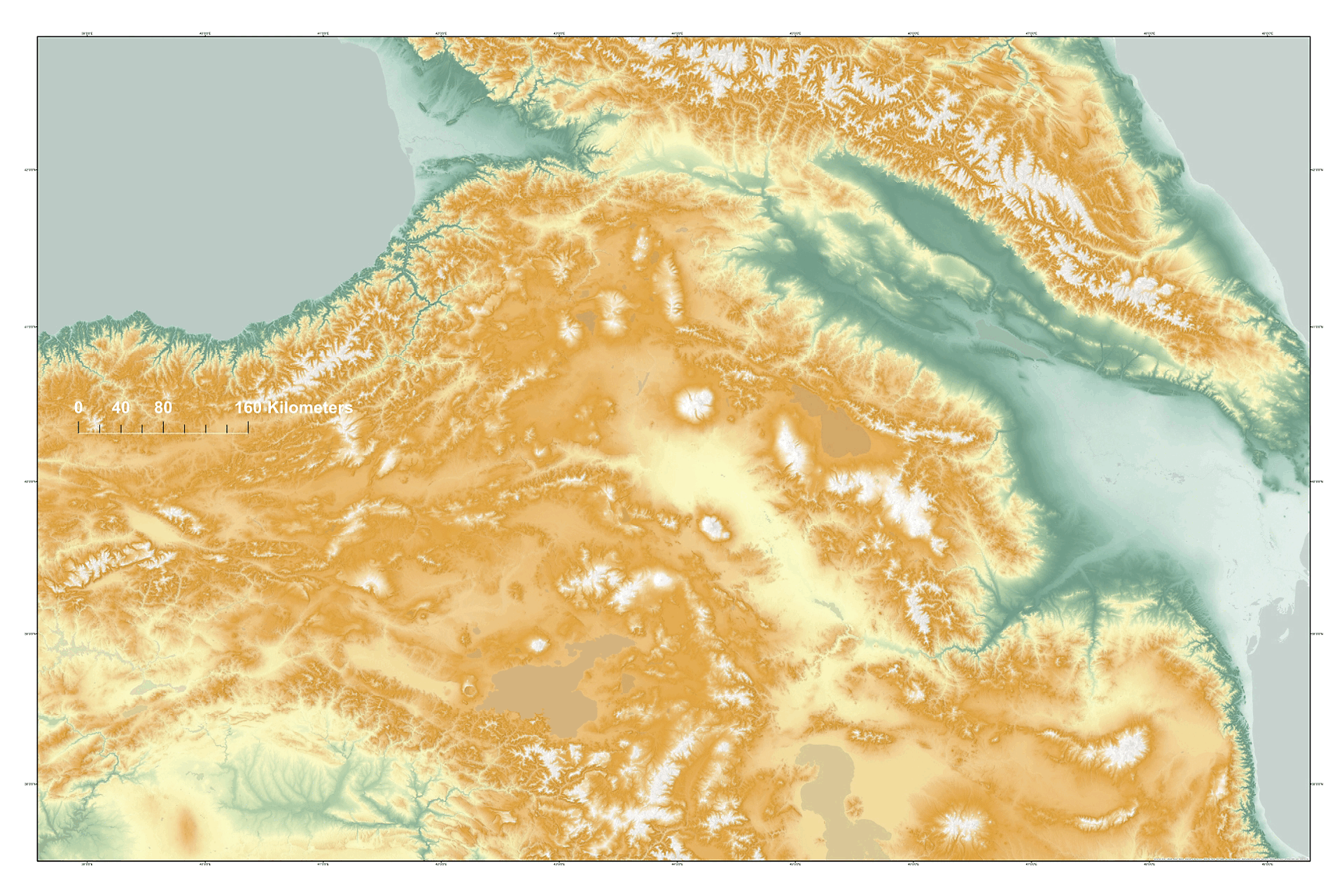
| Caucasus Mountains and vicinity (Caucasus Mts) | 5,10 |
97,50< |
<225x150 | ||||||
| OPT / SSW / PR / GGl / HRD / Color Classified | |||||||||
| Caucasus Mts (SAT/WSH) New | – |
90,50< |
<225x150 | ||||||
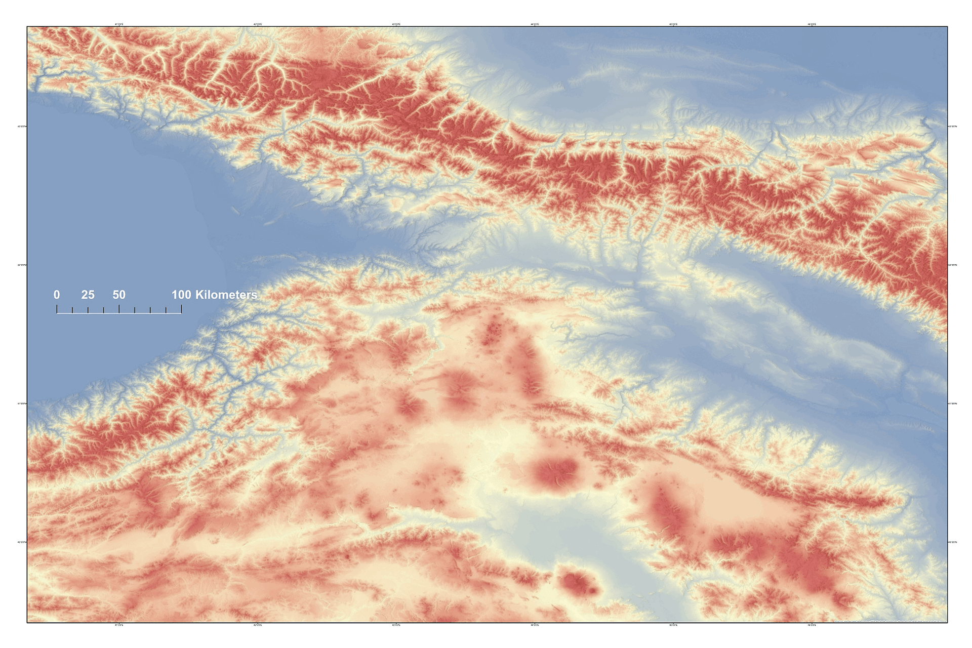
| Lesser Caucasus, Samsar Range (accent) | – |
52,50< |
<225x150 | ||||||
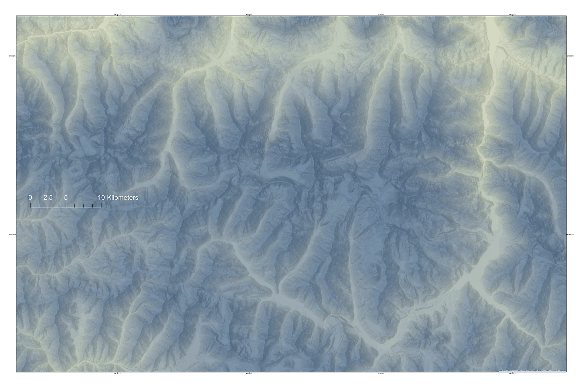
| Greater Caucasus, Khokh ridge, Kazbek, 5033 m (fragment) | – |
70,50< |
<225x150 | ||||||
| Kazbek, PDF, 4750x3150p, MQ Special | – |
– |
05,70 |
<75x50 |
|||||
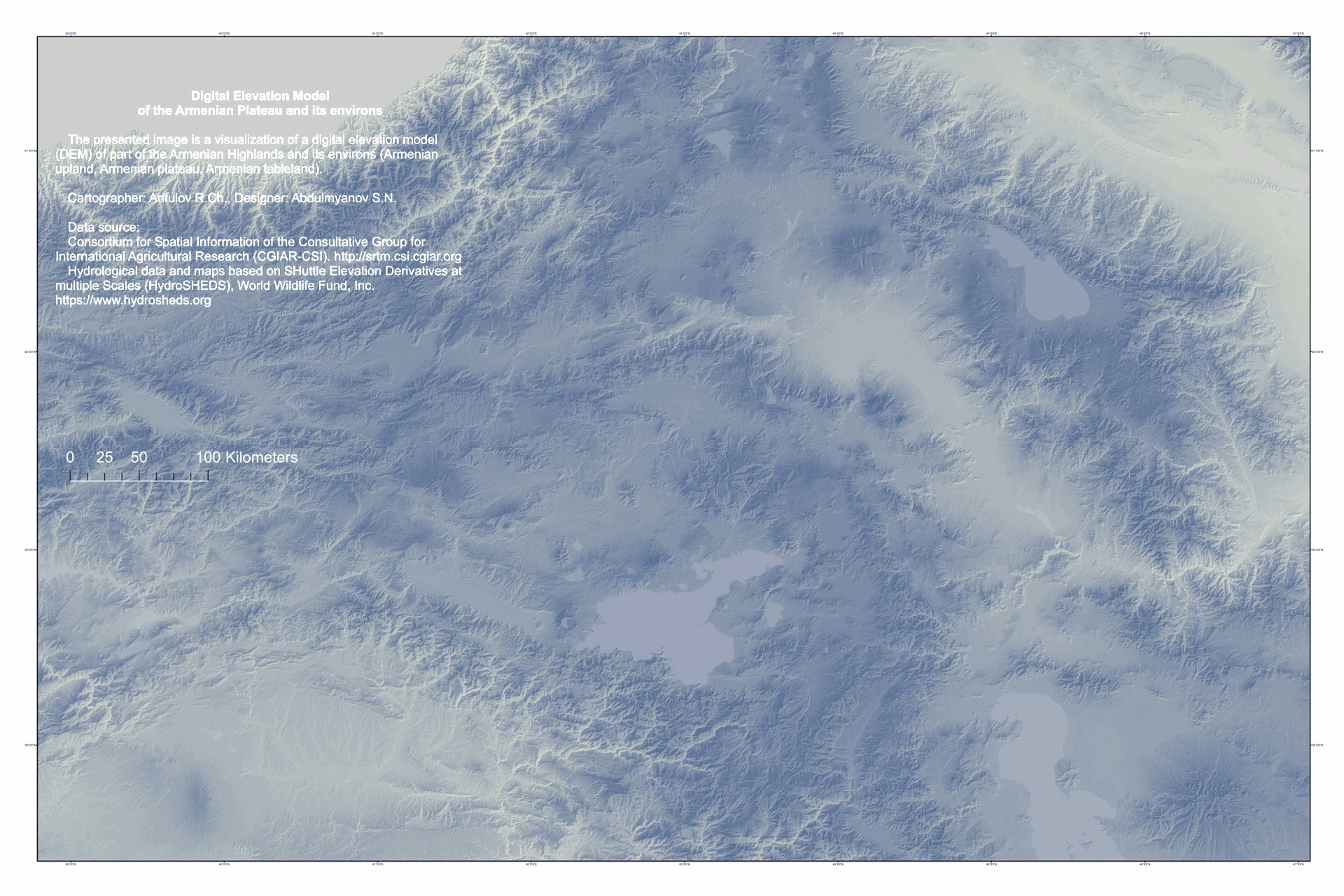
| Armenian Highlands and its environs (Armenian upland) | 5,50 |
150,50< |
<225x150 |
||||||
| OPT / SSW / PR / GGl / HRD / Color Classified | |||||||||
| Armenian Highlands, Northeast (accent) | – |
60,25< |
<225x150 | ||||||
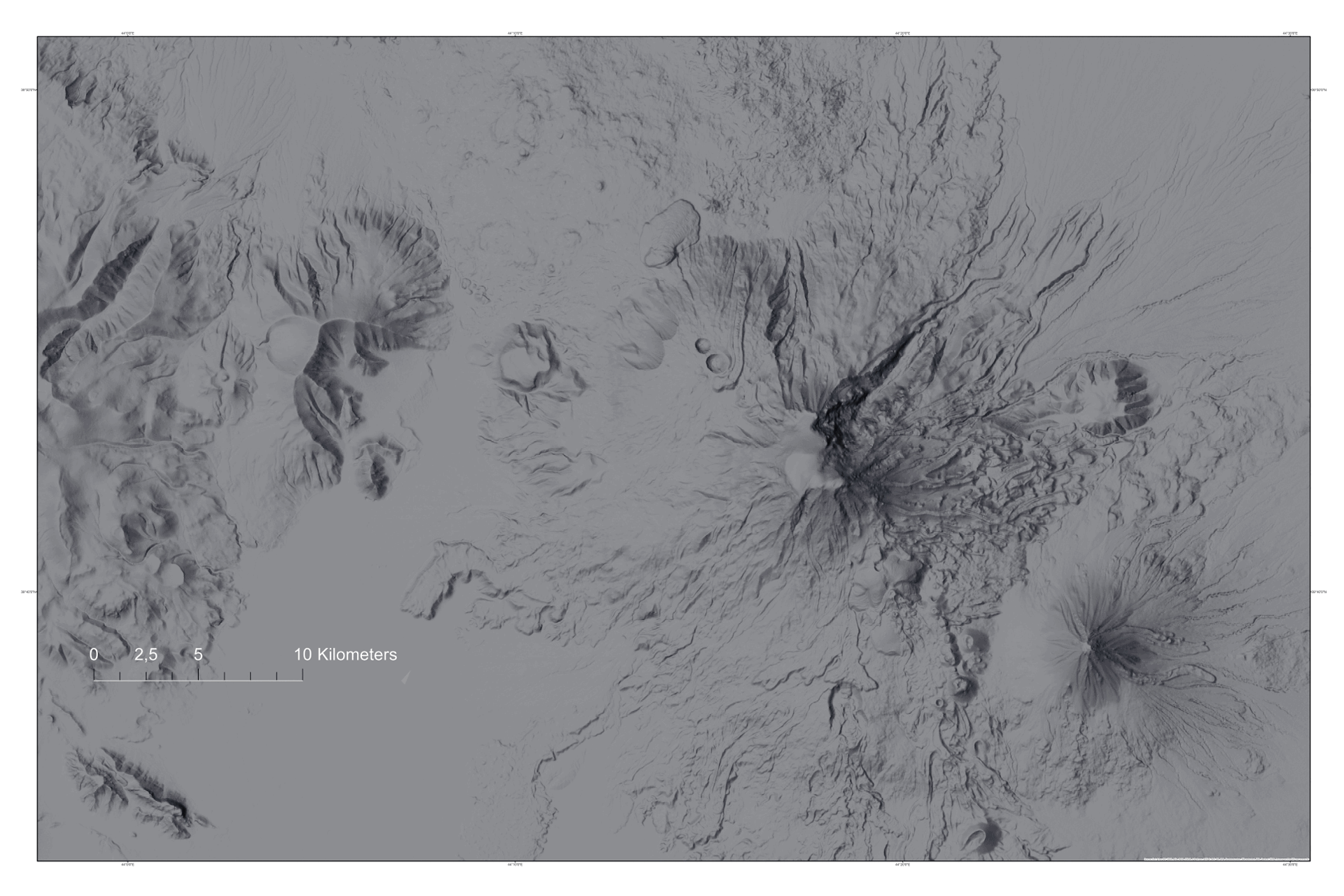
| Big and Small Ararat, 5165 m (fragment) | – |
40,25< |
<225x150 | ||||||
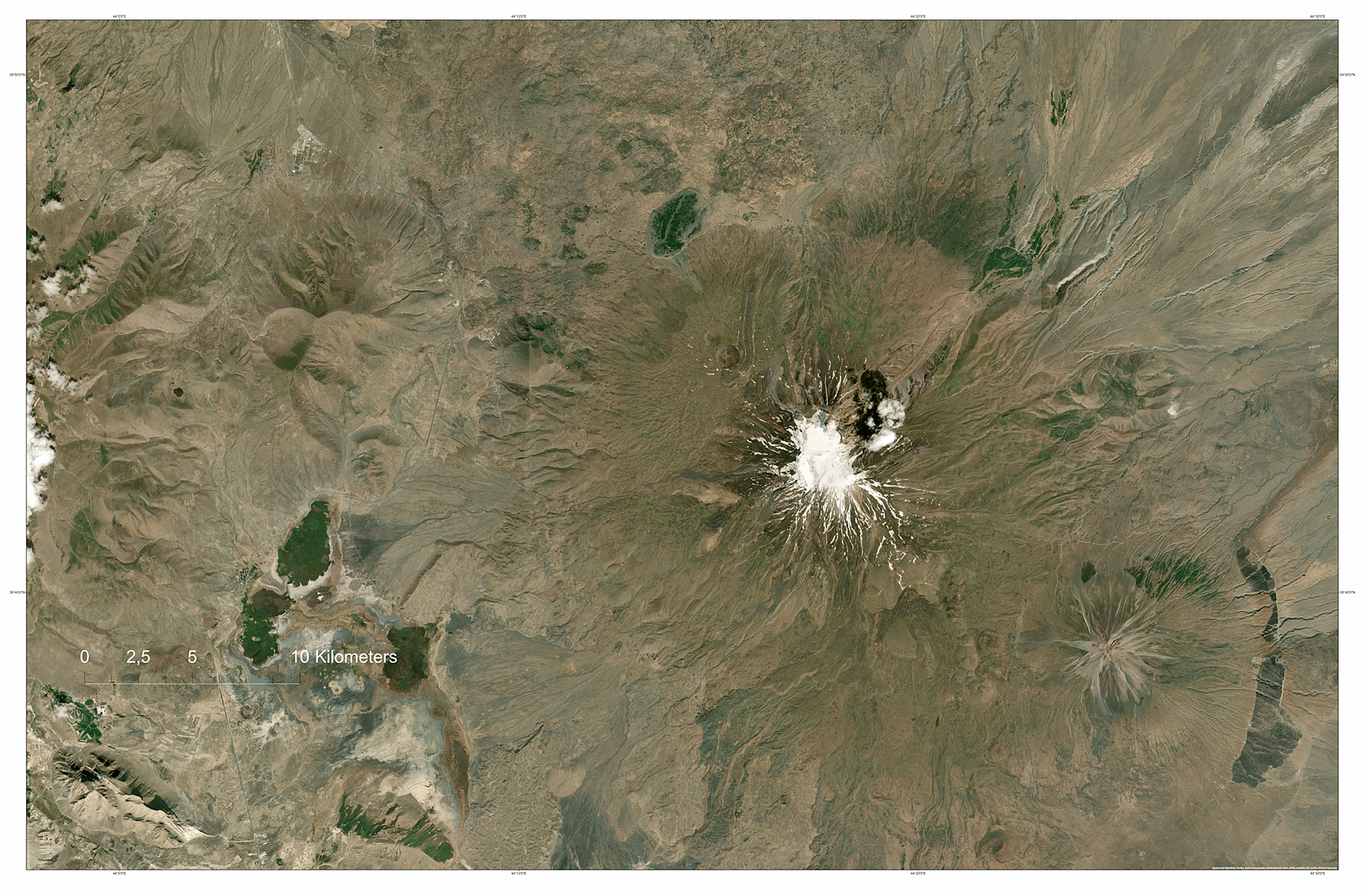
| Big and Small Ararat (SAT/WSH) New | – |
50,50< |
<225x150 |
Versions: Swiss Shaded (SSW), Glowing Globe (GGl)...
Notes:
GIF89a (animated), files <20 MB, size <1920 pix (FD), resolution 72 dpi. PDF for self-printing. By agreement with the customer, other file types can be used - TIFF, JPEG / JPG, PNG, or another color medium CMYK, Adobe 98 ...
Images can be printed on paper or polymer material. Various post-processing options are possible. Files can be sent to the customer over the network or burned to CD-R, FD or DVD.
Printed photos
Print-quality photos (RAW for self-processing)
Screen quality photos
"Geo Photo Bank" www.geophotobank.com © Абдульмянов С.Н. abdulmyanov@gmail.com